

Our services
Surveying, building documentation and inspections for planning and operation.
For hard-to-reach locations too:
Enquire about drone cargo transport →
Additional specialist pages that are not yet translated are available in German.
Data for planning, operation and analysis
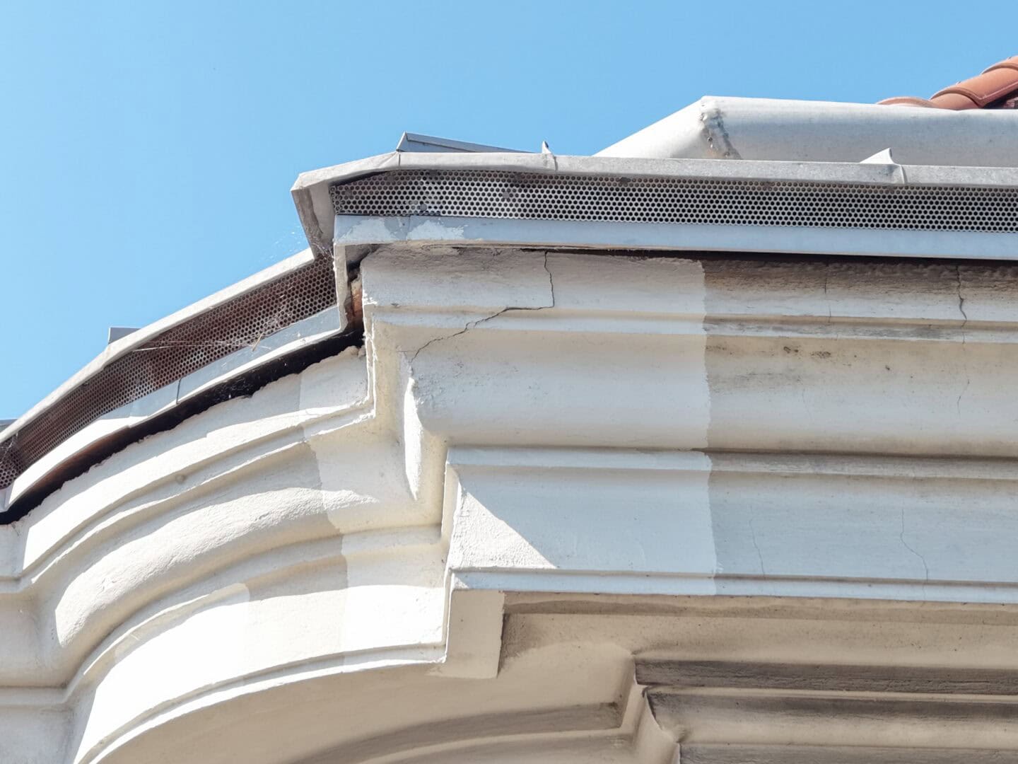


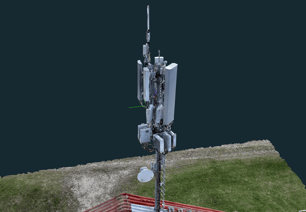
The data we deliver
We deliver structured imagery, measurements and 3D data for planning, documentation and further technical processing.


Applications for our data
Who we work with
We support property managers, design teams, surveyors and infrastructure companies with data tailored to their projects.
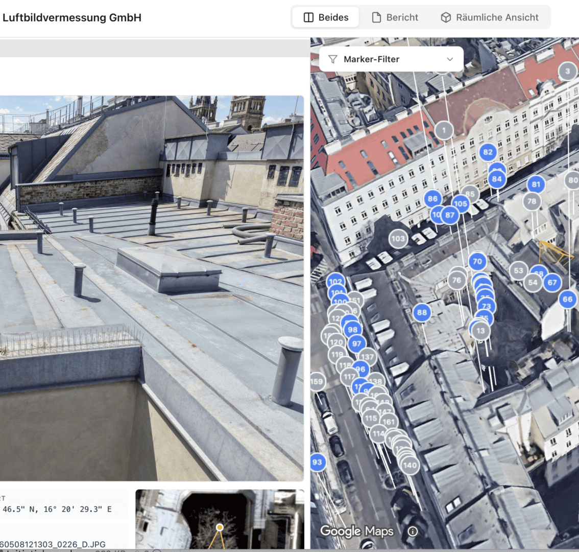


Your partner for technical data capture
- Operational since 2018
- Working with property managers, design teams and surveyors
- Delivering georeferenced data
Typical applications
Our applications
In Austria and Germany, we support projects from initial surveys to ongoing documentation. Projects in Poland are arranged individually.
Roof and façade documentation
Structured photographic records of roofs, façades and hard-to-reach building areas.

Building documentation and Austrian requirements
We systematically capture roofs, façades, cornices, chimneys and hard-to-reach areas. In Austria, these data support specialists with Vienna's Bauwerksbuch records and B1300/B1301 assessments. These are Austrian frameworks, not Polish legal requirements.
Construction and project documentation
We record conditions before work starts, during construction and after completion. Aerial imagery creates a clear record of buildings, construction sites and their surroundings.


Recording building conditions by drone
Imagery provides a reference for later comparisons, including when damage is reported. Non-contact aerial documentation covers neighbouring properties and hard-to-reach areas alongside construction sites.


From enquiry to data delivery
We agree your project objectives and data requirements, capture the site and deliver processed results in the agreed format.
Discuss your projectHow a project works
Enquiry and project scope
We begin by agreeing the survey purpose, site scope and required results. We then select the capture method and output formats suited to your workflow.
On-site data capture
We capture data by drone and add ground-based surveying where needed. Imagery, measurements and 3D data are recorded systematically and georeferenced.
Processing and preparation
We process imagery and measurements to suit the project. Outputs can include orthophotos, point clouds, 3D models, thermal data and structured photographic records.
Delivery of results
Structured results support planning, documentation and analysis. We deliver them by download, cloud access or in agreed data formats.
Questions about drone surveys and data capture
Frequently asked questions
Learn about deliverables, project workflows and applications in construction, property and infrastructure.
What data will I receive after a drone survey?
Depending on the scope, we deliver orthophotos, point clouds, 3D models, thermal imagery and structured photographic records. Georeferenced data is supplied in formats agreed for further use.
How quickly are results available?
On-site capture can usually be arranged at short notice. Processed results are generally made available within 24 hours.
Which projects benefit from drone data capture?
Data supports existing-condition surveys, planning, building documentation, pre-construction condition records, progress monitoring and inspections of buildings and infrastructure.
How accurate are point clouds and 3D models?
Accuracy depends on the method, scope and capture conditions. We agree the required accuracy and verification approach for each project.
What is the difference between photogrammetry and LiDAR?
Photogrammetry reconstructs 3D data from overlapping photographs. LiDAR measures distances using laser pulses. We choose the method to suit the asset, surroundings and required outputs.
Do you provide expert opinions or valuations?
No. Our scope is data capture and structured documentation. Technical assessments or expert opinions are provided by the appropriate specialists.

Publications and insights
Professional insights grounded in practice
Our publications address practical needs in construction, property and existing-building documentation.
Professional publications (German)