
Drone surveying for planning and existing-condition records
AeroSurvey captures land, buildings and infrastructure from the air. Receive orthophotos, 3D point clouds and terrain models for planning, existing-condition surveys and volume calculations.

Survey data for planning and existing-condition records
AERIAL SURVEYING
We agree capture method, accuracy, coordinates and output formats for your project. RTK imagery, LiDAR and supplementary ground measurements provide data for CAD, BIM and GIS workflows.
RTK drone surveying
RTK supports image georeferencing. Target accuracy and checks using independent checkpoints are agreed for each project.
Photogrammetry and 3D models
Metric 3D models and digital twins derived from aerial imagery support planning, existing-condition records and analysis.
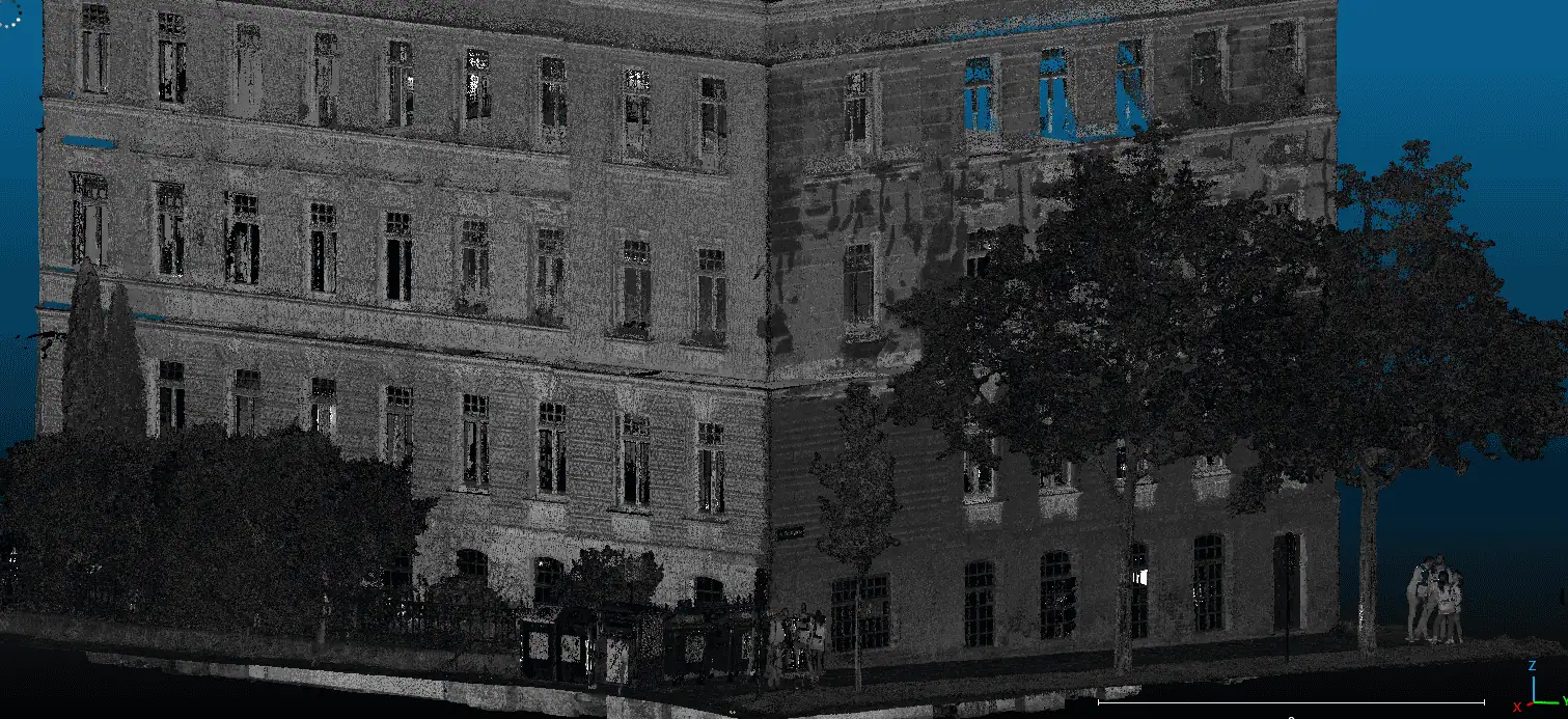
3D point clouds and LiDAR
Aerial laser scanning produces dense point clouds for terrain and structure models. Explore our LiDAR surveying service.
Orthophotos and 2D mapping
True-to-scale orthophotos and site data as a digital basis for surveying, planning and project development.
Topographic mapping
Terrain and elevation data for infrastructure planning, drainage and construction preparation. Volume calculations for earthworks can be included in the agreed scope.
Digital terrain and surface models (DTM/DSM)
Terrain and surface models from point clouds and imagery support planning and analysis. For interiors and additional building details, we offer terrestrial 3D laser scanning.
Efficient drone surveying
Efficient data capture
Drones efficiently capture large areas from the air and can reduce fieldwork. Flight planning and capture methods are tailored to the project.Project-based pricing
A coordinated survey can reduce time and personnel on site. Pricing reflects the area, terrain, deliverables and accuracy requirements.
Georeferencing and accuracy checks
RTK-supported imagery and, where needed, ground control points provide georeferenced maps, 3D models and terrain data. Target accuracy and the coordinate system are agreed beforehand.
Capture of difficult terrain
Steep, unstable or hard-to-reach areas can be captured from the air, reducing the need for survey personnel to enter them.
Related surveying services
Related services

Building documentation
Structured imagery, measurements and 3D data documenting building condition.

Point clouds
Detailed 3D point clouds of buildings, terrain and technical assets.

3D models
Metric 3D models from imagery and laser data for planning and documentation.
Thermography
Radiometric thermal data to support further specialist assessment.

Condition documentation
Records of construction conditions, details and changes throughout a project.



Frequently asked questions
Depending on scope: GeoTIFF orthophotos, LAS/LAZ or E57 point clouds, terrain and surface models, elevation profiles and volume calculations. Formats and detail are agreed with your project team.
Drone surveying questions
How can drone surveying save time and cost?
Drones capture large areas quickly and can reduce fieldwork and repeat visits. Supplementary ground measurements depend on terrain, accuracy requirements and the project objective. We agree deliverables and timing before capture.
Is drone surveying suitable for every site?
Vegetation, occluded surfaces, obstacles and flight conditions affect capture. We assess whether photogrammetry, LiDAR, ground measurements or a combination will suit the project.
What data will I receive?
The scope can include 2D orthophotos, 3D models, point clouds and terrain profiles. Georeferenced data supports planning, area analysis and documentation. It does not replace statutory surveying work requiring separate professional authorisation.
What happens in unsuitable weather?
Wind, rain and visibility affect flight safety and data quality. We assess conditions before capture and agree an alternative date if necessary.
How is survey safety planned?
Planning considers terrain, obstacles, people and operating conditions. The take-off and landing area and necessary ground controls are agreed before work starts.
