The team behind AeroSurvey
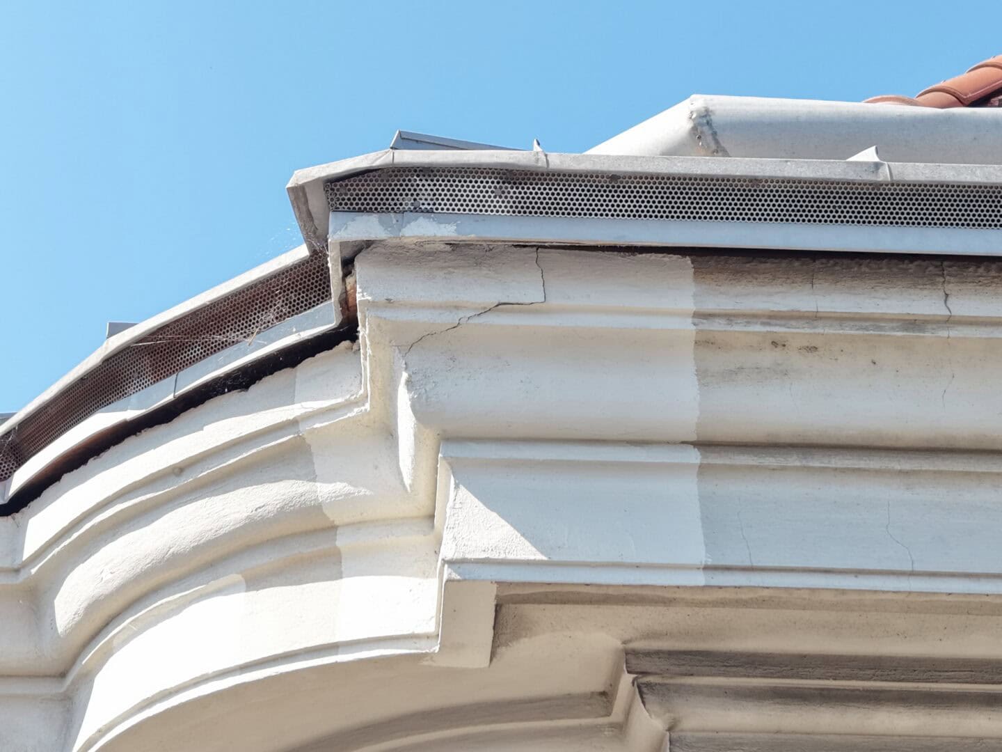
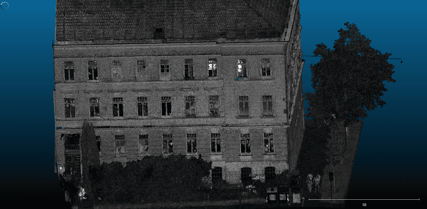
We combine over 16 years of property experience with modern drone technology. Based in Vienna, we support projects in Austria and Germany with surveying, building documentation, 3D data and cargo transport. We also welcome enquiries from Poland.

Your project contacts
We support your project from the first discussion through to delivery. Meet the people behind AeroSurvey.
Technical expertise for your project
Ing. Kamil Lagun M.Sc.
Managing Director · Technical documentation and data processing
Kamil Lagun leads technical delivery, from capture planning to data handover. Over 16 years in property development, refurbishment and asset management help him translate construction requirements into appropriate imagery, measurements and 3D data.

Lisa Obetzhauser
Project coordination · Data processing
Lisa Obetzhauser coordinates project workflows and data preparation. Her experience in property, office administration and data management helps ensure organised, timely delivery to clients and project partners.

Dipl.-Ing. Włodzimierz Lagun
Shareholder
Włodzimierz Lagun brings over 40 years of construction and property experience. As a shareholder, he supports the team on technical questions, quality requirements and complex projects.


Qualified remote pilots
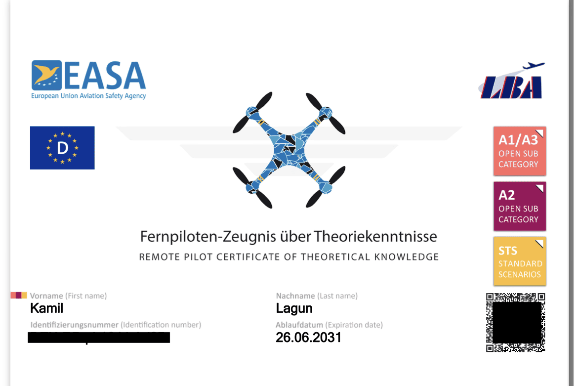
AeroSurvey carries out surveys, inspections and condition documentation with qualified remote pilots. Ing. Kamil Lagun M.Sc. holds EU A1/A3 and A2 competency certificates, theoretical STS qualification and practical STS-01 and STS-02 training.
How we work
1. Define the task: location, objectives and required results.
2. Plan the work: capture method and site conditions.
3. Deliver results: processed imagery, measurements or 3D data.
Explore our projects. For hard-to-reach locations, we also offer drone cargo transport, subject to individual feasibility assessment.
The right technology for your project
From capture to usable results
We select the drone and sensors to suit the task, terrain and required results, providing data for planning, inspection and documentation.


DJI Matrice 300 RTK
A flexible platform for drone surveying and inspections, equipped with a camera, LiDAR or multiple sensors to suit the task.
DJI Matrice 4 Thermal
Visual and thermal imagery of buildings and technical assets.
DJI Matrice 4 Enterprise
Image capture for orthophotos, 3D models and documentation of buildings and sites.
DJI Mini 5 Pro
A compact drone for imagery of roofs, façades and hard-to-reach areas. Explore our building inspections.
DJI Zenmuse L2 LiDAR
A laser scanner for point clouds and terrain data used in planning and analysis. Explore LiDAR surveying.
DJI D-RTK 2 mobile base station
A mobile base station providing GNSS corrections for georeferenced capture of point clouds and imagery.
Let’s discuss your project
Efficient planning and documented asset condition
Need building documentation, a 3D model or cargo transport? Describe the task and we will agree the scope and next steps.