
Terrestrial 3D laser scanning
AeroSurvey surveys buildings, interiors and technical assets. We deliver structured 3D point clouds for alterations, refurbishment and further CAD and BIM processing.

Digital capture of interiors and complex structures
Terrestrial scanning for existing-condition data
Ground-based scanners capture visible surfaces from multiple positions. Registered scans represent rooms, building elements and installations. Scope, access and detail are agreed beforehand.
Terrestrial 3D scanning
We survey interiors, basements, attics, stairwells and technical assets. The point cloud records captured conditions and supports specialist design work.
Professional survey systems
Depending on the task, we use Leica BLK360, Leica RTC360 or XGRIDS systems. Method, accuracy and verification are selected for the asset and intended data use.
Typical applications
- Surveys for alterations and refurbishment
- Interior measurements where plans are missing or outdated
- Industrial and technical documentation
- Inputs for Scan-to-BIM
- Complementing drone surveys
Your deliverables
We deliver registered point clouds, for example in E57, LAS or LAZ. Coordinate reference, detail and additional analysis are agreed. 3D models and CAD/BIM processing are defined as separate scope.
Terrestrial scanning and drone surveying
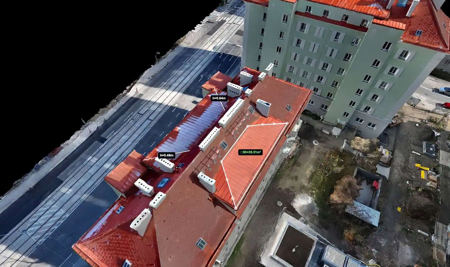
Terrestrial scanning captures interiors and accessible details. Drone surveying adds roofs, façades and outdoor areas. Concealed or inaccessible areas are discussed beforehand.
Service scope
We deliver measurements and agreed processing. Specialist assessment is undertaken by architects, engineers or surveyors. Structural assessments and expert reports are not part of data capture.
Related services for your survey project
Related services

Drone surveying
Georeferenced drone survey data for land, buildings and infrastructure.

Building documentation
We capture structured imagery, measurements and 3D data documenting building condition.

Point clouds
We create detailed point clouds of buildings, terrain and installations using drone photogrammetry and LiDAR.
3D models
Metric 3D building models from aerial imagery and laser data.

Thermography
Radiometric thermal data to support further specialist assessment.

Condition documentation
Records of construction conditions, details and changes throughout a project.


Terrestrial 3D scanning for planning and documentation
Precise data in digital form
Send the location, approximate area, accessible spaces and required results. We work in Austria and Germany and welcome enquiries from Poland. Enquire about a 3D scan.
Enquire about your project
Terrestrial 3D scanning FAQs
Workflows, data formats and survey conditions.
Answers to your key questions
What is a terrestrial 3D scan?
A ground-based laser scanner measures visible surfaces. Scans from multiple positions are combined into a spatial point cloud for documentation, models and further analysis.
How accurate is a laser scan?
Accuracy depends on the system, distance, surfaces and scan registration. Target accuracy and verification are agreed before the project starts.
How long does scanning take?
Duration depends on area, room layout, access and detail. Capture and processing schedules are agreed from your site information.
Can interior and exterior data be combined?
Yes. Interior scans and drone data can be combined with an agreed coordinate reference. We define the capture method for each area beforehand.
Which formats do you deliver?
For example, E57, LAS or LAZ. Models and further CAD or BIM processing are agreed separately. Tell us your target software and intended use.
