
Examples from real projects
Quality documented in practice
Selected construction, property and infrastructure projects featuring drone surveys, LiDAR and building inspections.


Drone digitisation of roof surfaces
Project overview
Client: design office
Asset: apartment building
Scope: drone digitisation of roof surfaces
Method: aerial photogrammetry
Data: several thousand high-resolution images
Outputs: georeferenced 3D model, roof orthophoto and exportable planning data
Use: PV design, surveying, documentation and maintenance
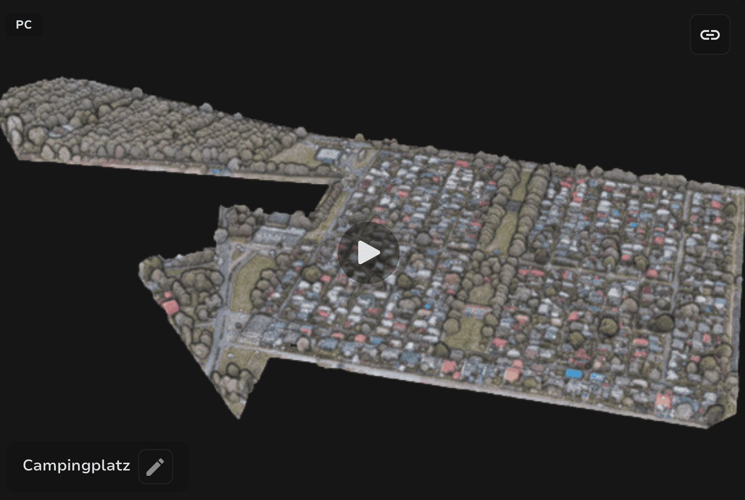
Campsite LiDAR survey
Project overview
Client: municipality
Asset: campsite
Scope: site-wide LiDAR survey
Method: drone laser scanning
Data: dense georeferenced 3D measurements with RTK support
Output: detailed point cloud for site plans
Use: documentation, planning, coordination and land management
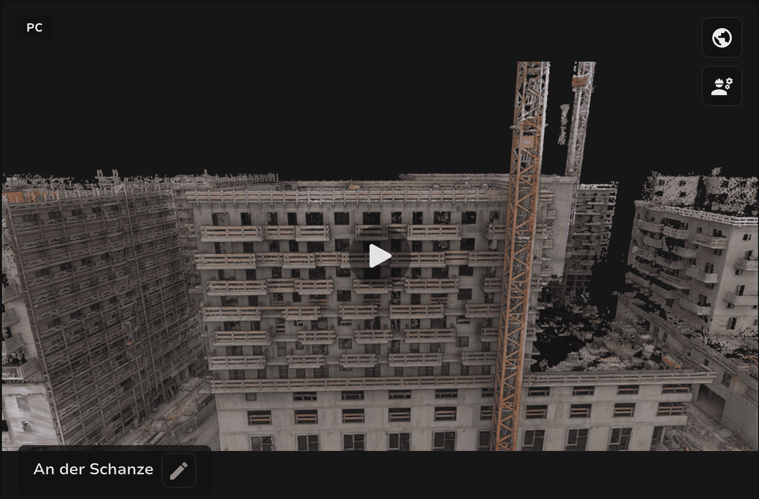
Drone 3D survey — “Quartier an der Schanze”, Vienna 1210
Project overview
Client: developer / contractor
Asset: construction site with multiple buildings
Scope: drone 3D survey
Method: UAV LiDAR and imagery
Data: dense georeferenced measurements
Output: 3D point cloud
Use: planning, prefabrication, geometric coordination and documentation
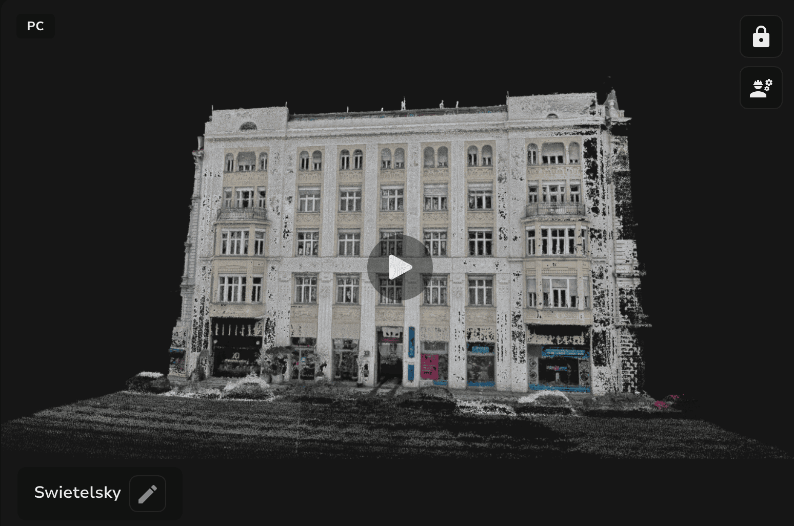
Photogrammetric survey for SWIETELSKY AG
Project overview
Client: SWIETELSKY AG
Asset: residential and existing buildings
Scope: photogrammetric survey
Method: UAV imagery
Data: around 4,500 high-resolution images with RTK support
Output: 3D façade model / point cloud
Use: planning, coordination and documentation
Building inspections
Drone documentation of building envelopes. We capture hard-to-reach roofs, façades, rooftop structures and details from different viewpoints.
Surveying, mapping and 3D models
Typical applications
- Building and roof surveys
- Land and terrain surveys
- Digital 3D models
- Refurbishment and extension design
- Roof geometry analysis
- Volume and area calculations
- Planning base data
- Infrastructure projects
Our work in practice
Your project — our data
Data for planning and maintenance
Need imagery, measurements or 3D data? Send the location, asset scope and required results. We will agree the method, formats and date. Enquire about your project.

Projects


